Potential for Roman route crossing Caernarfon housing development near Segontium was investigated
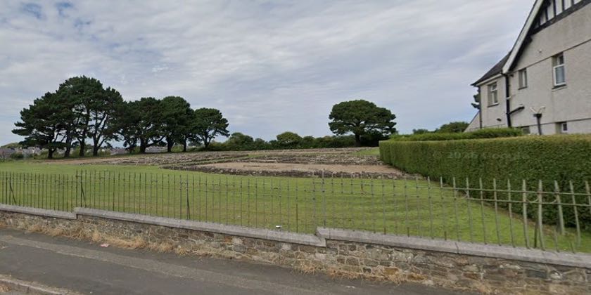
A Caernarfon housing development near the Segontium fort site was investigated for evidence of a potential Roman road.
An evaluation by archaeologists produced “mostly negative results” but the evidence had suggested that later features may have followed or incorporated an earlier route.
“Although artefacts suggest a late medieval or post-medieval date, the possibility that the feature follows or incorporates the Roman road route cannot be ruled out,” a Heneb report had stated.
The scheme for 36 homes, approved by Cyngor Gwynedd planners with conditions, has been proposed on agricultural land off Llanberis Road.
The application was made by Daniel Parry of Adra (Tai) Cyf through the agent Steve Grimster of Grimster Planning, and would provide 10 apartments, three bungalows and 23 houses.
It included associated infrastructure works, roads and footpaths, amenity space, landscaping and drainage measures and a new substation.
The site had attracted attention due to its proximity to Segontium, which dates back to AD77.
The report had noted: “The primary target for this work was a Roman road between the forts of Segontium (Caernarfon) and Canovium, (Caerhun, Conwy) which was strongly suspected to cross the application site.
“The evidence for this derives from an earthwork visible on LiDAR within the application site and identified sections of a Roman road along the same alignment, in particular during the construction of the Caernarfon bypass approximately 1.6km to the north-east.
“The application site is approximately 750m from Segontium and direct continuation of this line leads across the site to the south-eastern fort entrance.
“Although the evaluation produced mostly negative results, two trenches recorded a cobbled surface corresponding with the LiDAR earthwork and geophysical survey results.
“Even if it was found that the road has taken a deviation, this would be important evidence in mapping the Roman road network of the region and therefore informing recommendations where Roman remains might be anticipated for future development proposals.
“The late medieval and early post-medieval landscape is also poorly understood, so were the road to be shown in fact to date to this period, this would also be locally significant information.”
It was stated that the evaluation had “minimised archaeological risk” whilst the “presence, absence or possible deviation of the Roman road remains of archaeological interest.
“In addition, confirming a medieval or post-medieval route would contribute to an understanding of the local historic landscape.”
It was considered “necessary” to impose an archaeological condition to the application “to ensure a proportionate programme of archaeological mitigation”.
A programme to “strip, map and record prior to commencement of construction” was considered the”most appropriate method” along with any necessary assessment, reporting and archiving work.
A decision to permit the housing with conditions was published on the Cyngor Gwynedd’s planning portal.
The conditions had included a detailed analytical report on the archaeological work being submitted to the local planning authority within 12 months of completion of archaeological fieldwork.
By Dale Spridgeon – BBC Local Democracy Reporting Service (Picture: Cyngor Gwynedd)
Spotted something? Got a story? Send a Facebook Message | A direct message on Twitter | Email news@north.wales